- Solutions
- Stormwater
- Reservoir & Lake Level
Level MonitoringReal-Time Insight into Every Body of Water You Manage
The value is in knowing early, not finding out after someone drives by.
See changing water levels in real time, understand what’s happening, and respond before conditions become a problem.
Why Continuous Level Monitoring Matters
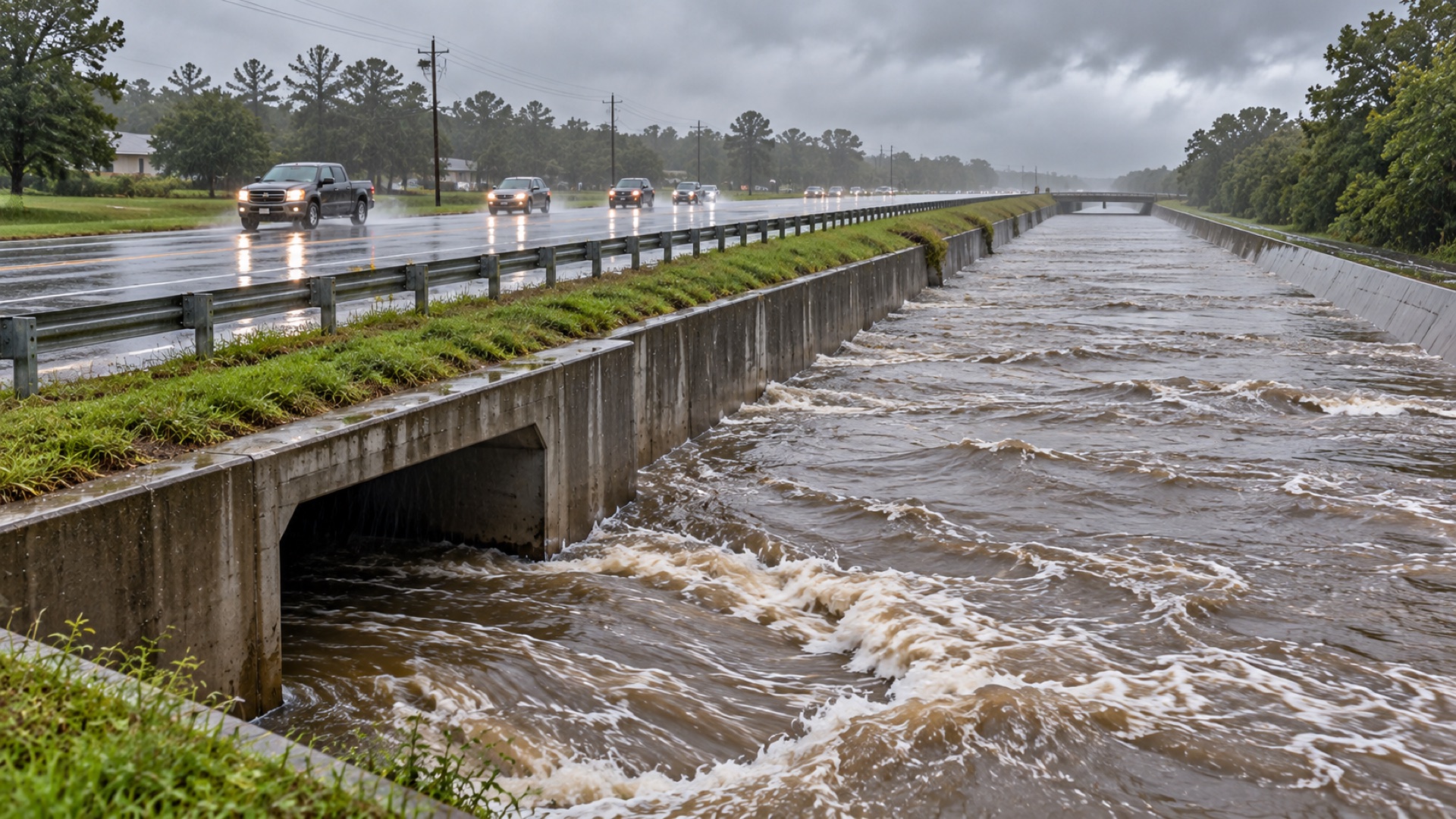
Water level is one of the most basic — and most important — measurements a utility tracks. A reservoir that drops too low threatens supply. A detention basin that fills too fast signals a stormwater problem downstream. A river or stream climbing toward flood stage is a public safety concern. In every case the value is in knowing early, not finding out after someone drives by.
Mission’s cellular level monitoring gives operators that early view of any body of water they manage — reservoirs, lakes, rivers, streams, canals, ponds, and stormwater retention or detention basins — with no radios to license, no data loggers to visit, and no software to maintain. Each site becomes another tile on the 123SCADA map, with live readings, threshold alarms, and history from day one.
How Mission’s Level Monitoring Works
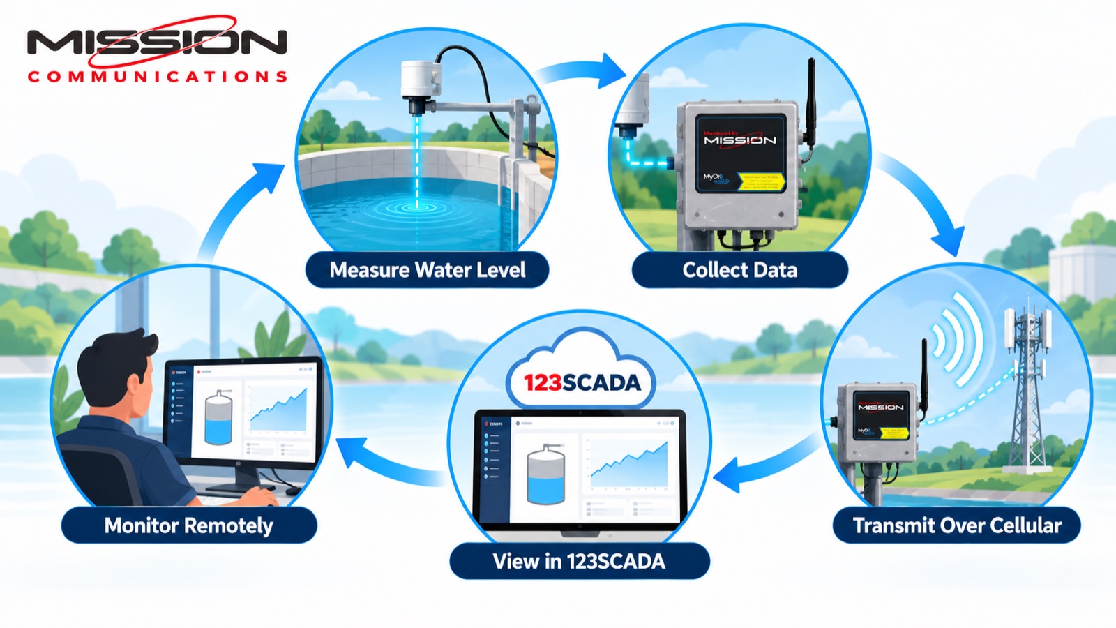
A submersible pressure transducer or a non-contact radar sensor measures the water surface and feeds the reading to a Mission RTU. The RTU reports continuously over cellular to the 123SCADA platform, where operators see current level, rate of change, and long-term trends from any browser or phone.
For remote sites with no mains power — the norm for reservoirs, stream gauges, and outlying basins — the battery-powered, solar-charged MyDro 50 delivers years of maintenance-free monitoring.
- Submersible pressure or non-contact radar level sensing.
- Real-time readings with configurable report intervals.
- High and low threshold alarms.
- Historical trending and rate-of-change from day one.
- Battery and solar options for off-grid sites.
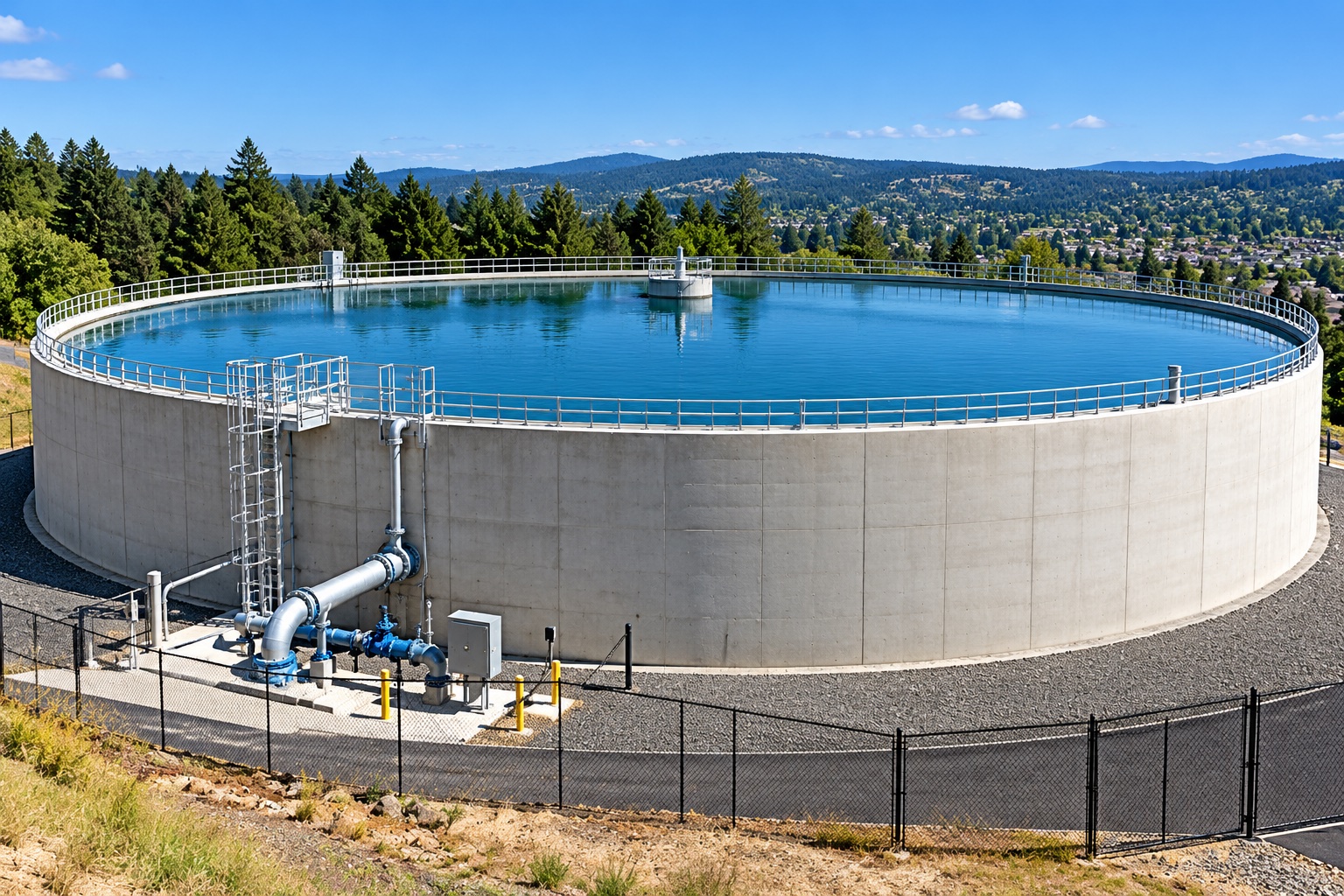
Reservoirs, Lakes, and Source-Water Supply
For utilities that draw from surface water, level is a supply metric. Continuous reservoir, lake, and river readings help operators manage drawdown, plan around drought conditions, document minimum-flow and water-rights obligations, and coordinate intake operations — all from trended data instead of periodic staff-gauge readings.
Retention and Detention Basins
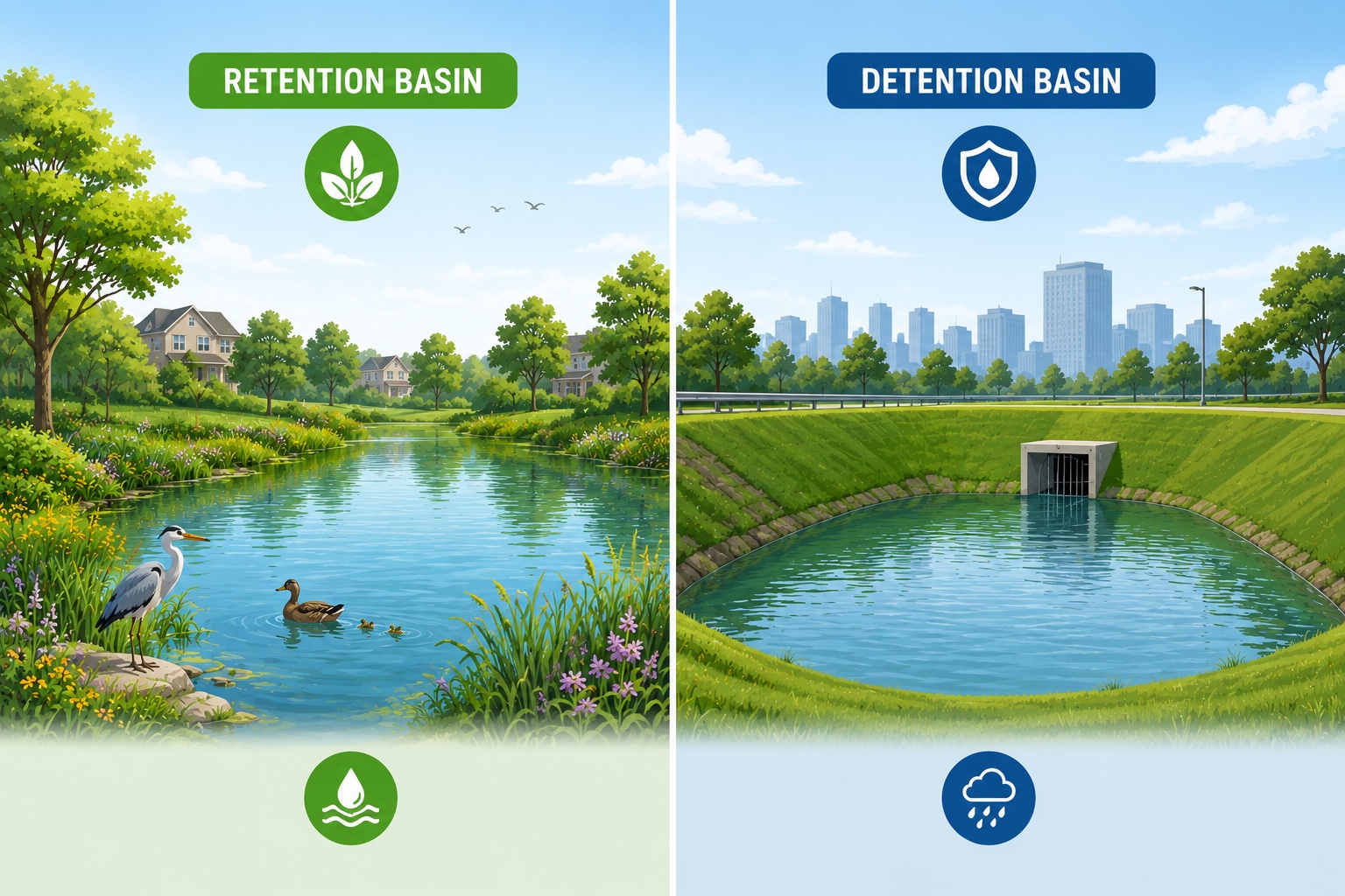
Stormwater retention and detention basins have to perform on the wettest days of the year. Monitoring basin level shows how each structure responds to a storm, confirms that outlets are draining as designed, and produces the timestamped records MS4 programs and permit reviewers expect. Overlay basin level with a Mission rain gauge and the relationship between rainfall and response is visible in seconds.
Threshold Alarms and a Defensible Record
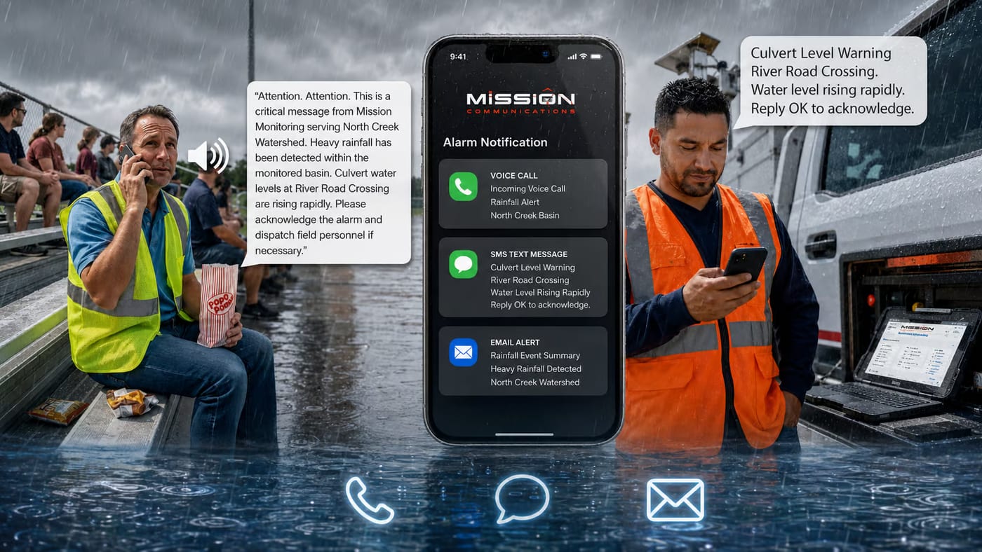
When a level crosses a threshold you set, Mission’s alarm engine dispatches a notification in under a minute by phone, text, or email, with call-out schedules that route the alert to the right person. Every reading and alarm is retained from the day the site goes live — a defensible record for regulators, funding applications, and capital planning.
What You Will Need
For remote sites with no mains power — the norm for reservoirs, stream gauges, and outlying basins — the battery-powered, solar-charged MyDro 50 delivers years of maintenance-free monitoring. All RTUs include cellular data charges in the annual subscription—there are no separate data overage fees or early termination penalties.
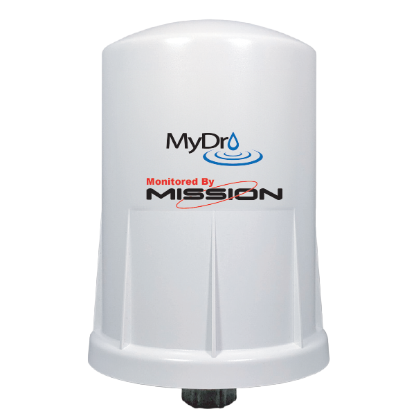
MyDro 50
A battery-powered RTU for small stations without reliable power, using solar charging and ultra-low-power cellular communication for years of maintenance-free operation.
View MyDro 50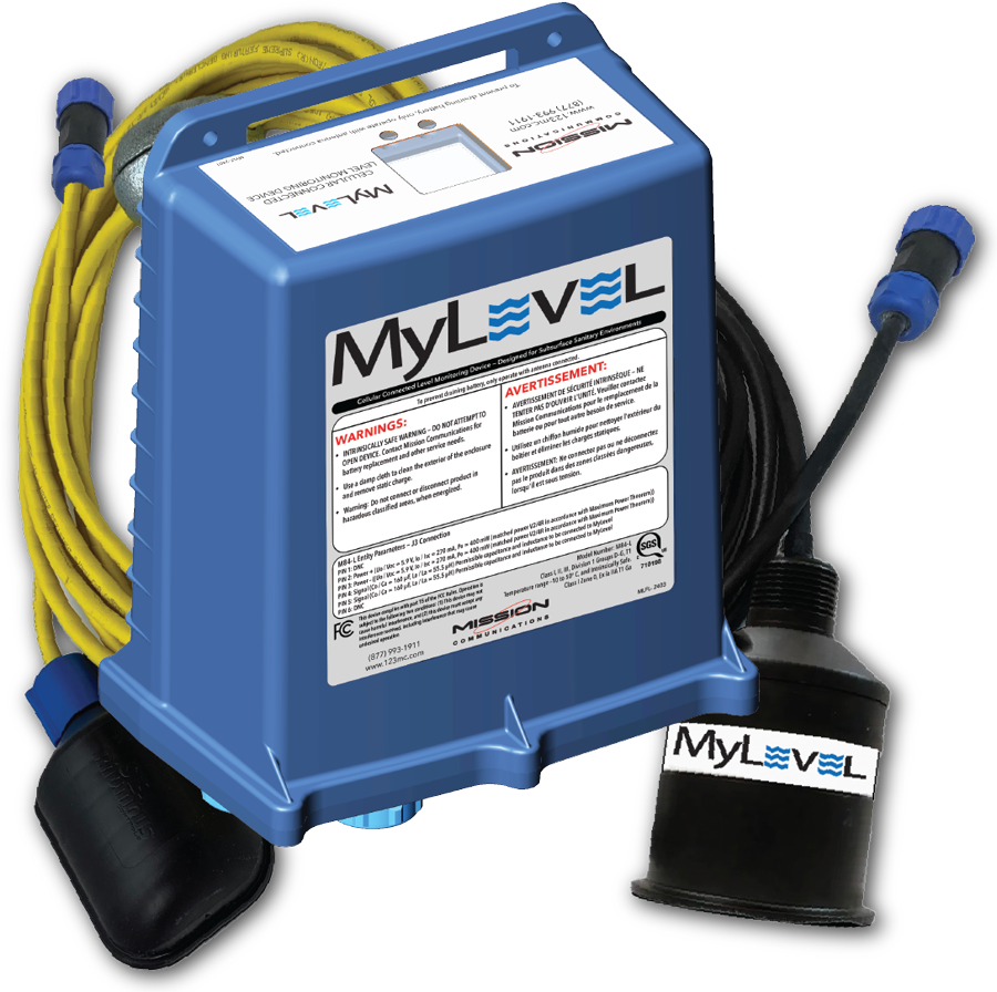
MyLevel
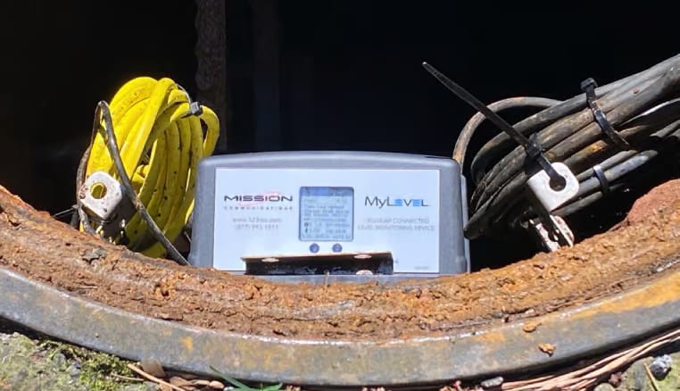
Battery-powered ultrasonic manhole monitor for CSO/SSO applications. Installs below grade and provides reliable level monitoring, real-time alarms, and years of operation on a single battery.
View MyLevelNot sure which RTU fits your site?
Compare every Mission RTU side by side, from line-powered to battery and solar. Or ask our team which one suits your site.
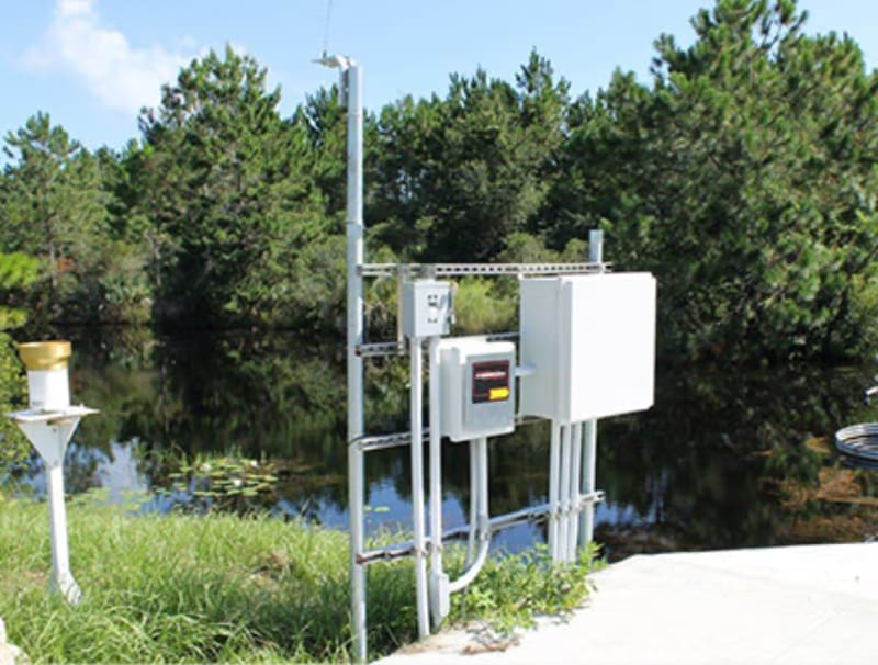
Rainfall
Cellular tipping-bucket rain gauges on the same map as every other RTU, with I&I correlation and MS4 records.
Explore Rainfall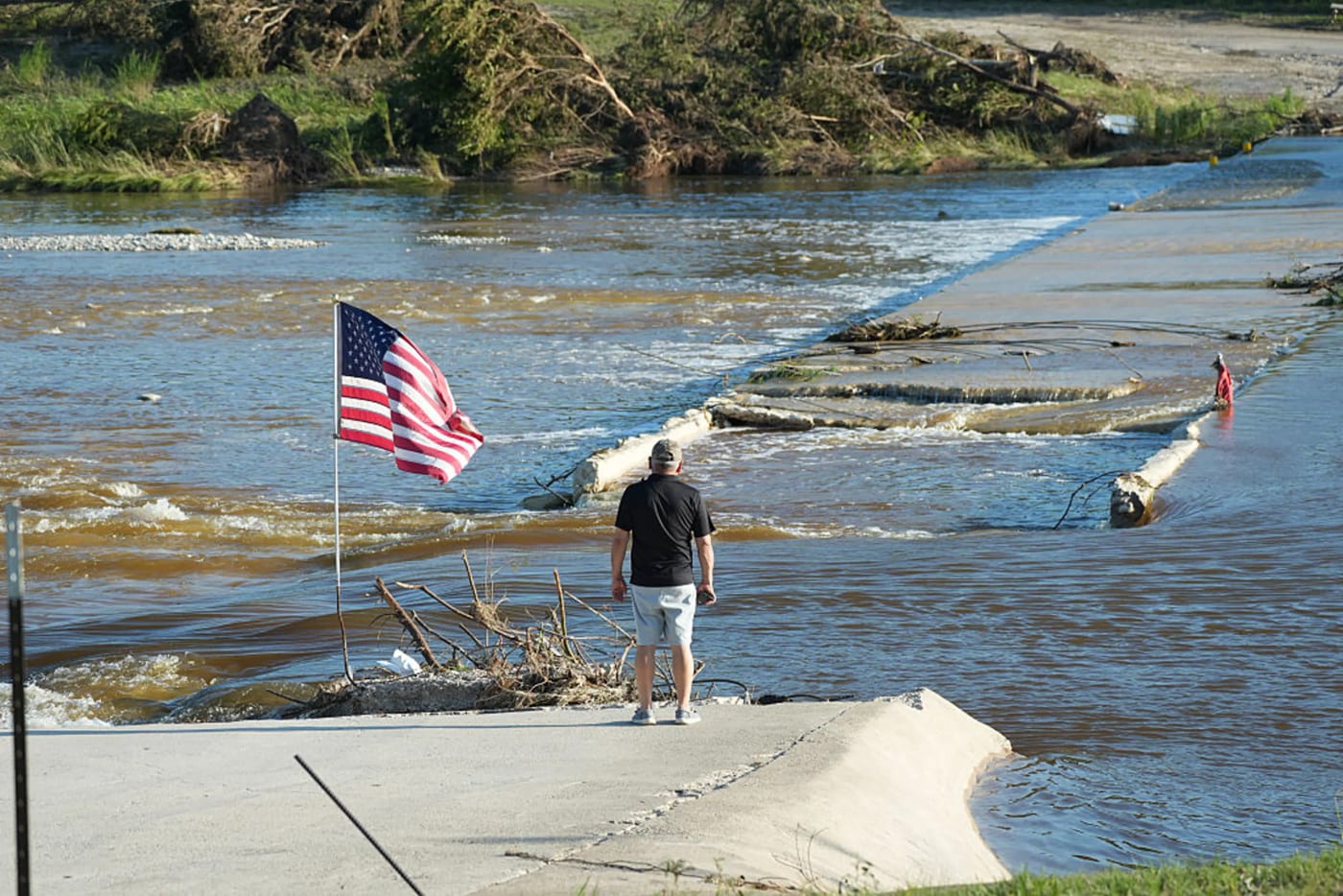
Flood Warning
Stream and low-water-crossing monitoring that alerts emergency managers in under a minute and documents every event.
Explore Flood WarningSee all Stormwater solutions
Every application Mission monitors and controls, with the alarms, reports, and hardware for each.
View all StormwaterFrequently Asked Questions
What bodies of water can Mission monitor levels in?
Mission monitors water level in reservoirs, lakes, rivers, streams, canals, ponds, and stormwater retention and detention basins, using a submersible or radar sensor matched to the site.
How is remote water level measured?
Remote water level is measured with a submersible pressure transducer or a non-contact radar sensor connected to a Mission RTU. The reading is sent over cellular to the monitoring platform, where operators see live levels and historical trends.
Can level monitoring send alerts when water gets too high or too low?
Yes. Operators set high and low thresholds for each site, and the system dispatches phone, text, or email alerts in under a minute when a level crosses a trigger point.
Get Started with Level Monitoring
Whether you’re watching a single reservoir or a network of basins across a service area, Mission can help scope and deploy the right level monitoring setup. Call 877.993.1911 or click below to request a demo.